 Ketchikan, Alaska Photos Courtesy Gravina-Access Project Published:
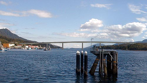
Alternative F1, a combined 200-foot high/120-foot high bridge crossing that incorporates Pennock Island Preparation of the Draft Environmental Impact Statement is well underway; however, as of this date the draft EIS has not been released -- it could be anyday however. In response to the January 7, 2002, announcement by Governor Knowles and DOT&PF Commissioner Perkins identifying the reasonable alternatives for the project and the state's recommendation to implement Alternative F3 the Ketchikan community provided numerous comments concerning the alternatives and their potential environmental and economic impacts. As a result of many of the comments received from the community and agency personnel, DOT&PF brought back Alternative F1, a combined 200-foot high/120-foot high bridge crossing that incorporates Pennock Island. The EIS is assessing the no-action alternative and nine build alternatives: two 200-foot high bridge crossings near the airport (Alternatives C3[a] and C4), two 120-foot high bridge crossings near the airport (Alternatives C3[b] and D1), a combined 200-foot high/120-foot high bridge crossing that incorporates Pennock Island (Alternative F1), a combined 60-foot high/200-foot high bridge crossing that incorporates Pennock Island (Alternative F3), and three ferry alternatives (Alternatives G2, G3, and G4). During the spring and summer
of 2002, the Alaska Department of Transportation and Public Facilities
(DOT&PF) and HDR Alaska, Inc. completed geotechnical and
geophysical studies, simulations of vessel movements associated
with 200-foot high bridge alternatives, and detailed economic
studies to more fully characterize the potential environmental,
economic, and social impacts of the project alternatives, and
to refine engineering design assumptions. 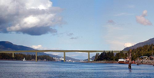 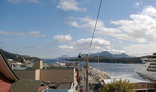 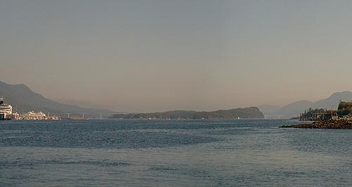 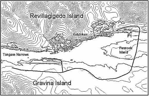 Combined 200-foot high/120-foot high bridge crossing that incorporates Pennock Island Graphic Courtesy Gravina-Access Project
Photo Essay 1 - East Channel High Bridge - Alternative F1 a combined 200-foot high/120-foot high bridge crossing that incorporates Pennock Island (published March 02, 2003) Photo Essay 2 - Alternative F3 Pennock Island Crossing 60-foot High Bridge East Channel and 200-foot High Bridge West Channel Photo Essay 3 - Alternative C3A Photo Essay 4 - Alternative C3B Photo Essay 5 - Alternative C4: 200-foot High Bridge Airport Area to Cambria Drive Area Photo Essay 6 - Alternative D1: 120-foot High Bridge Airport Area Ferry Alternatives: (Alternatives G2, G3, and G4) A special thank you to the Gravina Access Project Team for providing these photographs & information.
Source of Information:
|